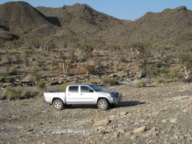
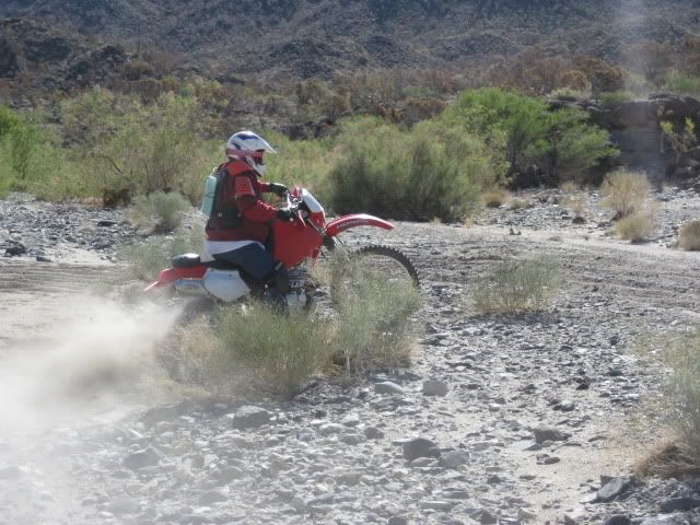
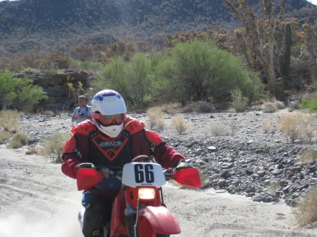
My fellow adventure seeker was Baja Nomad member ‘El Vergel’ (Vern) from the Los Angeles area and the beach campo south of San Felipe. ‘Baja Cat’ (José) who waited for us just across the border at Otay Mesa joined and traveled along with us on Friday.
The drive south was easy and fun.
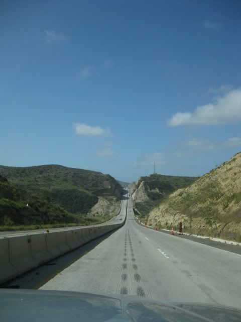
Corredor 2000 zips you around Tijuana to or from Otay or Tecate (Vern Pic)
We stopped for lunch in San Vicente at a taco cart operated by Gloria, who served us ‘tacos de borrego’ (lamb tacos) along with a cup of consommé de borrego to which we added onions and salsa… YUM

Vern 'El Vergel'

José 'Baja Cat'
We arrived in El Rosario about 2:30 to fill our gas tanks and buy a few cases of Tecate and Dos Equis cerveza. I also wanted to show Vern the rooms at Baja Cactus Motel as they are so outstanding given the location and typical highway accommodations usually found in Baja. We also saw Itzel’s mother who reported her daughter as doing fantastic following the heart surgery of several months ago.
Baja Cactus Pemex (Vern Pic)
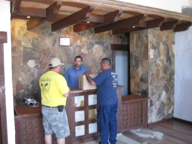
Baja Cactus Motel front desk (Vern Pic)
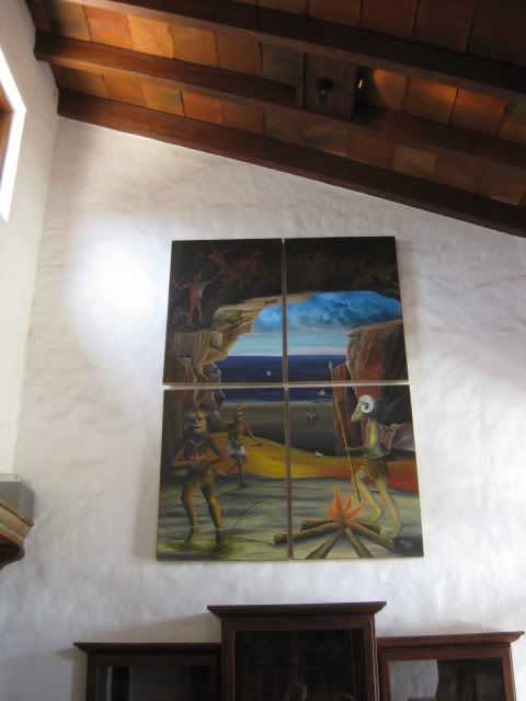
Hugo Lopez art at Baja Cactus (Vern Pic)
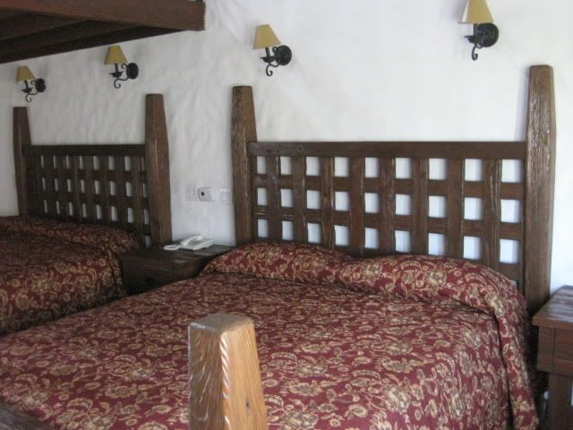
Baja Cactus room (Vern Pic)
Fuel prices in Baja (below the border region) were 8.77 pesos per liter for Magna and 9.87 for Premium. The exchange rate at Baja Cactus was 11.20 pesos per dollar and in Ensenada on Sunday was 11.00 pesos per dollar… both close to $3.00 per gallon.
The 56 mile drive down Highway One to the El Marmol road was a breeze and the signed road was between the 148 and 149 kilometer markers. The next 9 miles to El Marmol are dirt, but some of the easiest dirt miles in Baja and would be a breeze for most vehicles.
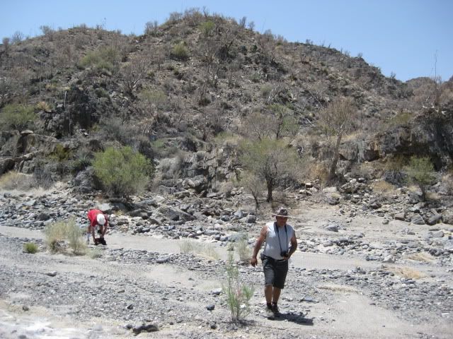
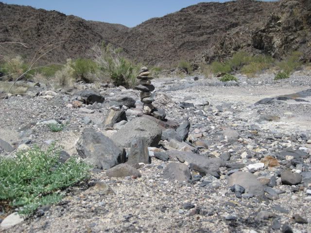
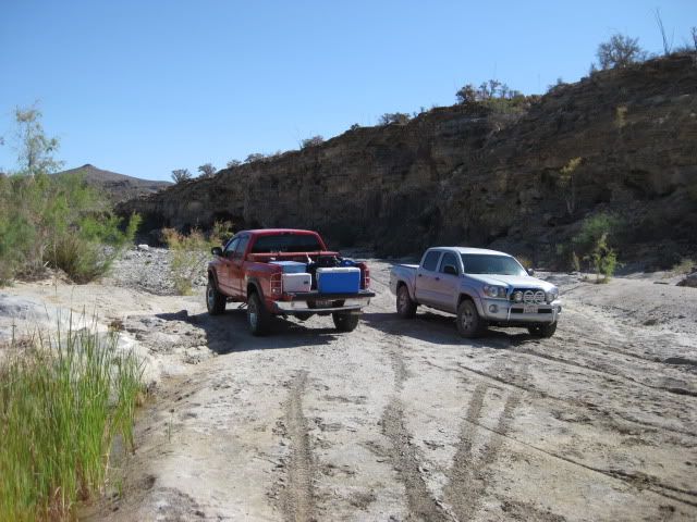
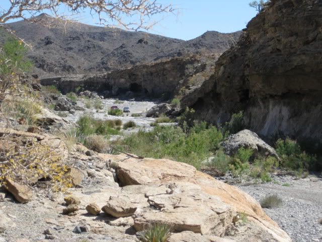
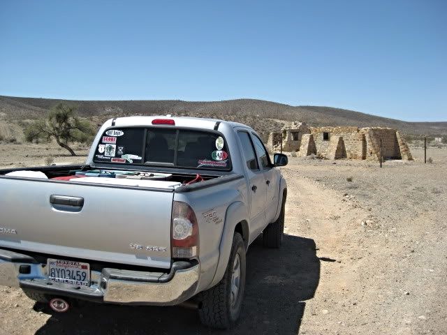
We stopped to take new photographs of the schoolhouse ruins and cemetery before the final leg of today’s drive down to Arroyo el Volcan. I heard the sound of a speeding Toyota Tacoma and it was ‘TW’ (Tom) and his brother Bill arriving from an ice run to Cataviña (20 miles distant). José, Vern and I followed them down to the campsite in Arroyo El Volcan, 4 miles from El Marmol.


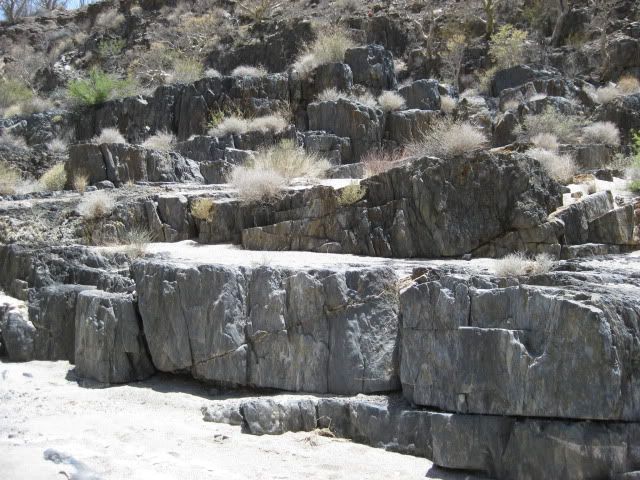
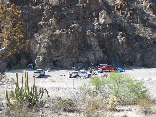
Already there was ‘bajalou’, ‘dtbushpilot’ (David) and ‘XRPhlang’ (Phil) on the sand/gravel arroyo at the base of a giant rock face. That evening was plenty fun discussing just why the hell we all drove hundreds of miles and spent hundreds of dollars to be in such a place! It was great!

'bajalou' and 'BAJACAT'

'XRPhlang' (Phil) and 'dtbushpilot' (David)

'El Vergel' (Vern), Bill W and 'TW' (Tom)
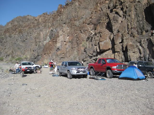
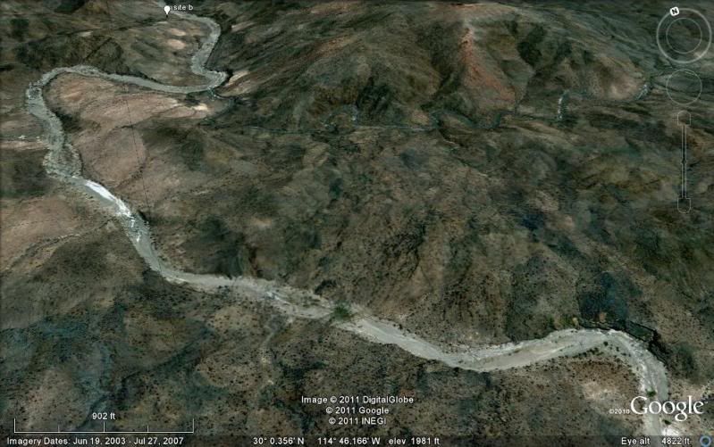
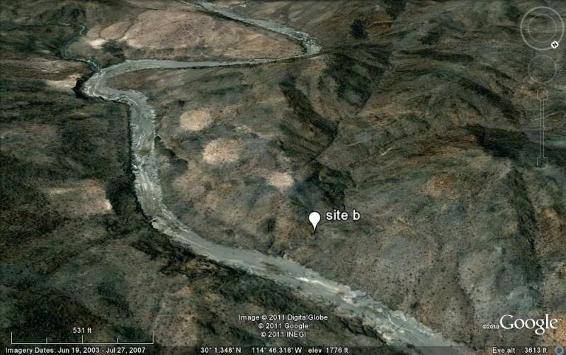
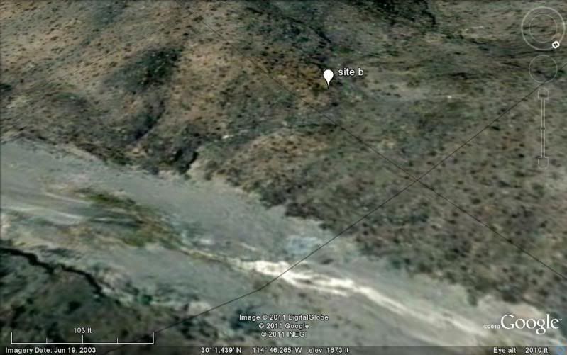
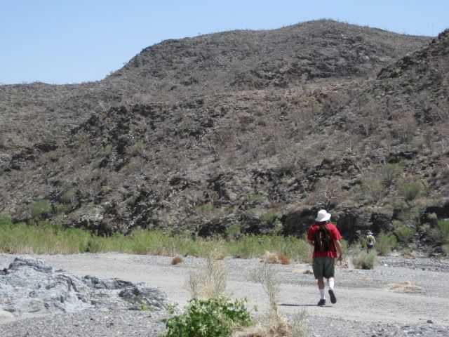
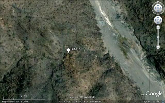
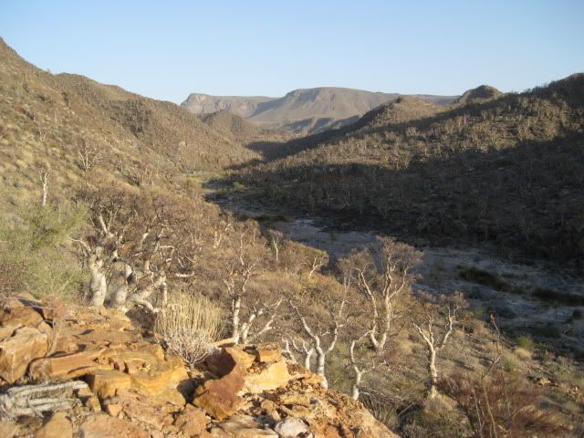
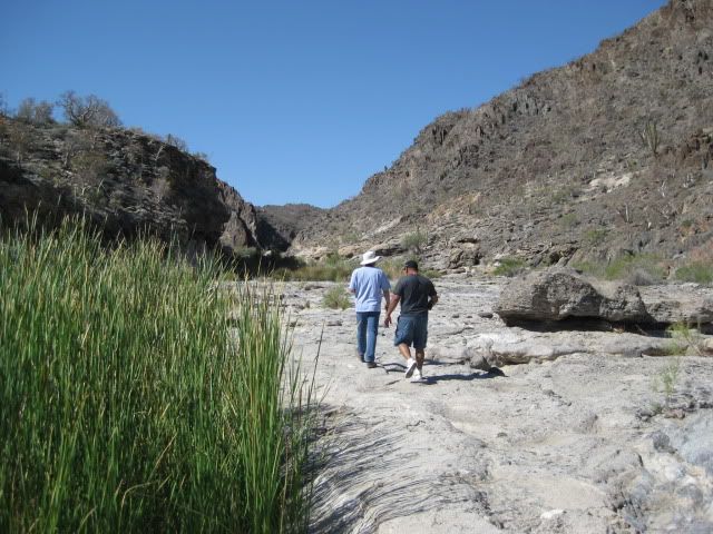
TW made a batch of grits to supplement our morning diet and we secured camp for the day's hike. It looked on the map to be about 3-4 miles down the arroyo to the primary site of elbeau's Santa Isabel (arches, stairways, fountains). I called the location 'site B' on my Google Earth map. Our camp was just a few hundred feet down the wash from the El Marmol-La Olvidada mine road (which was totally graded very recently).
The last photo posted above in Part 1 was the morning showing our camp.
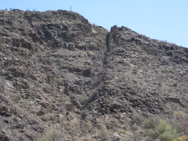
Our camp was in the arroyo, on the left of this image:
The site (white tag 'site B') was exactly a 4 mile hike away:
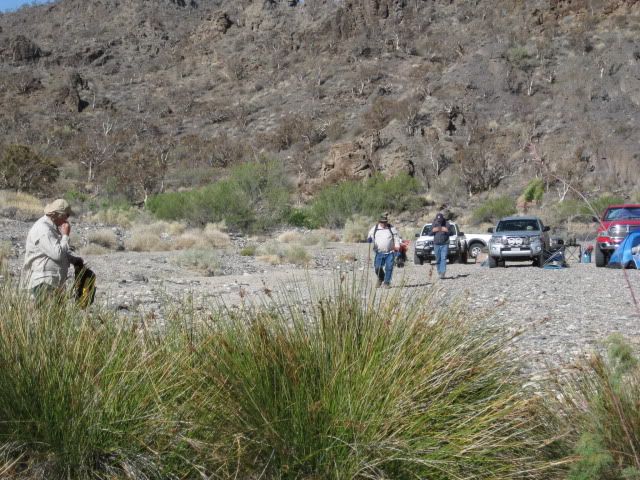
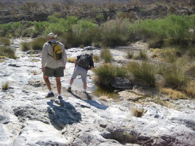
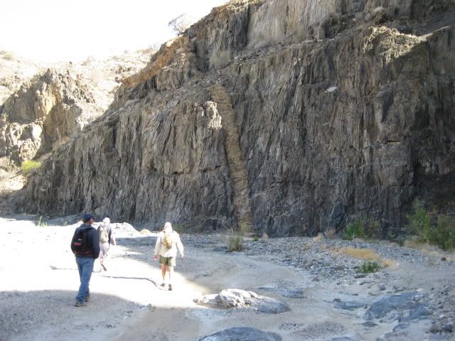
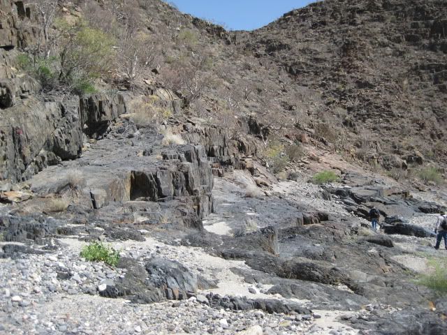
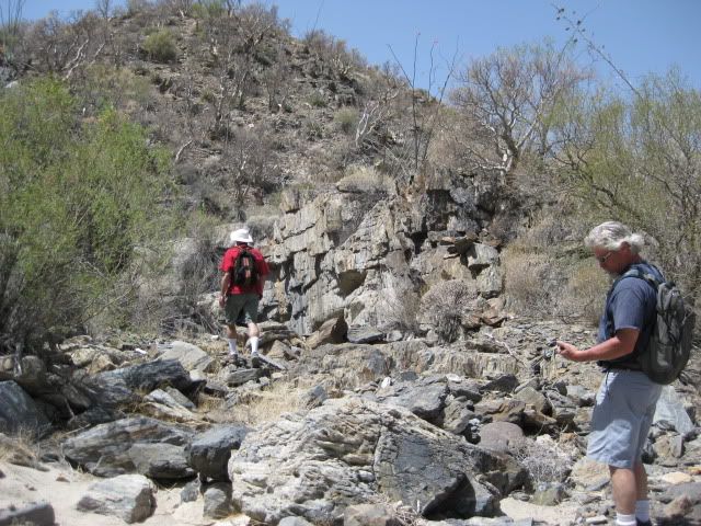
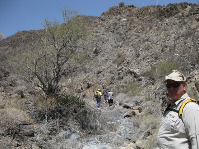
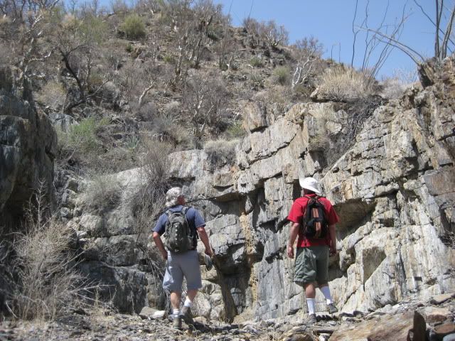
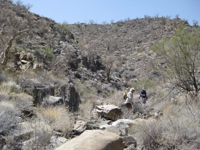
We begin the hike:
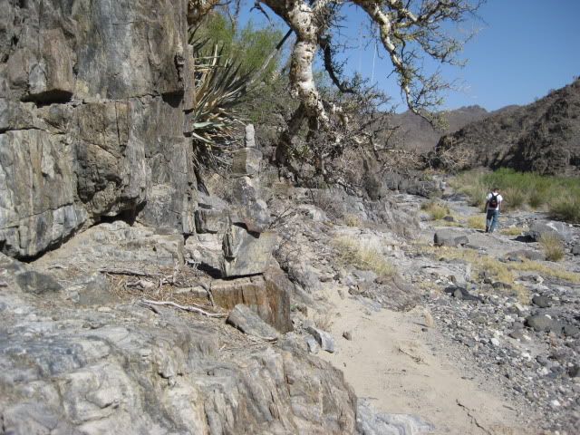
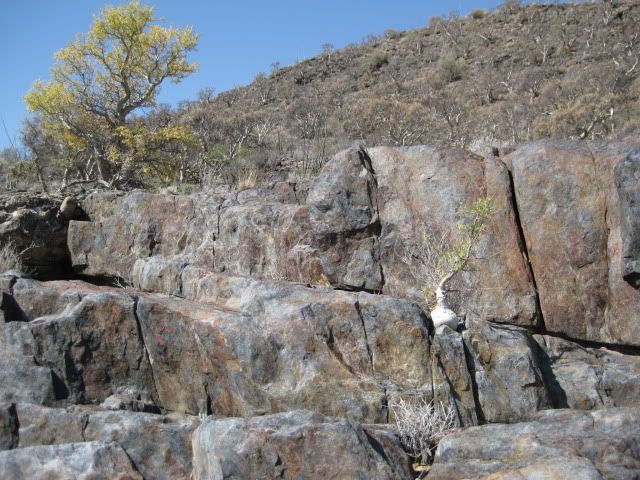
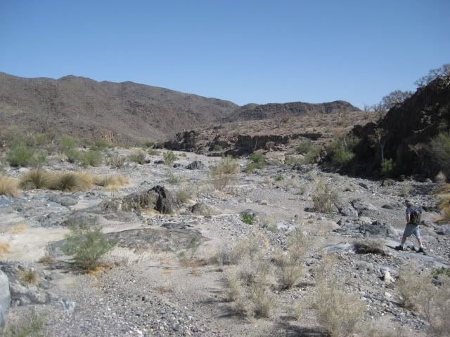
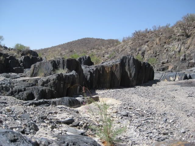
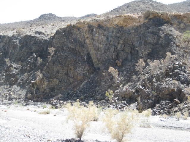
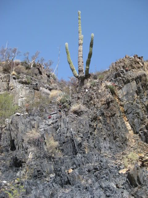
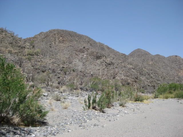
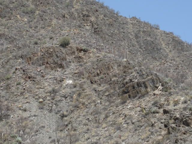
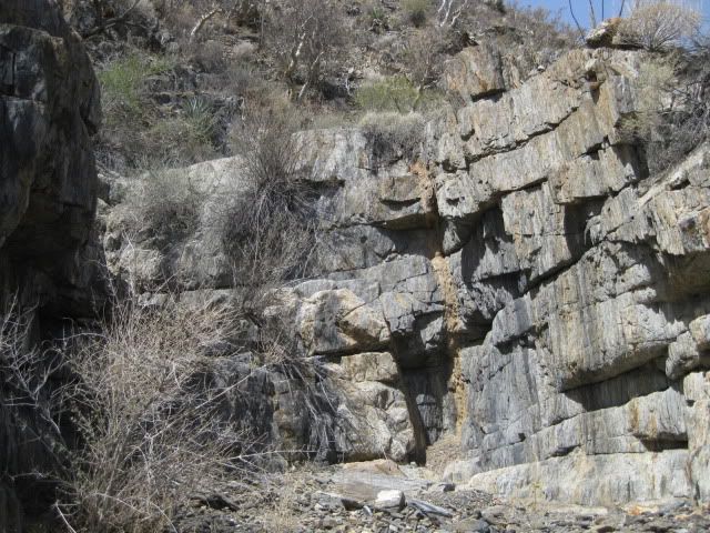
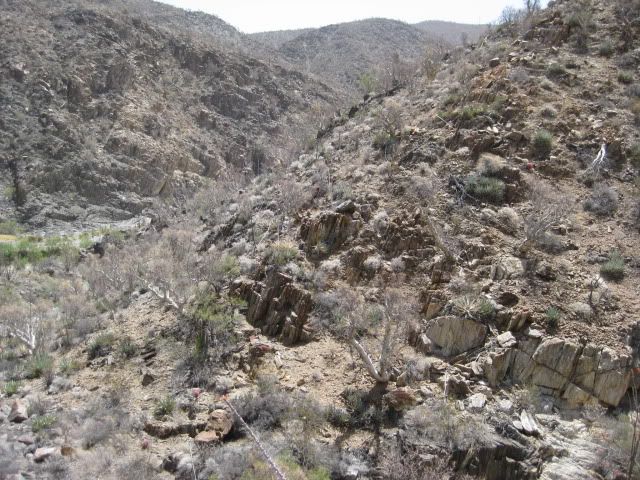
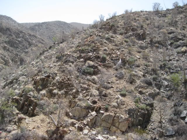
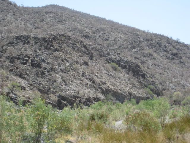
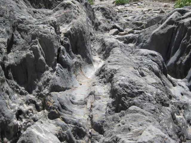
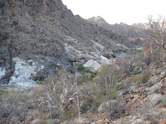
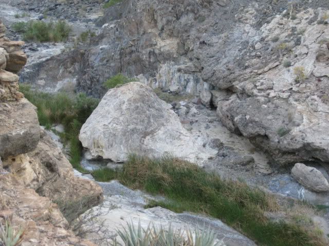
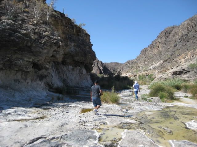
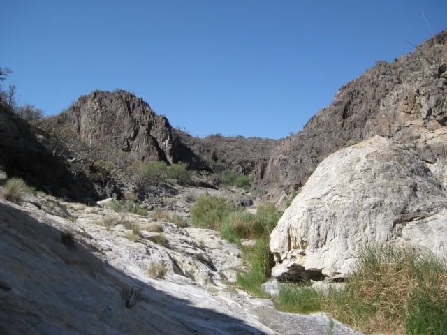
The arroyo of El Volcan was extremely interesting and is well worth the visit (even without a lost mission)! I will let my photos do most of the story telling...
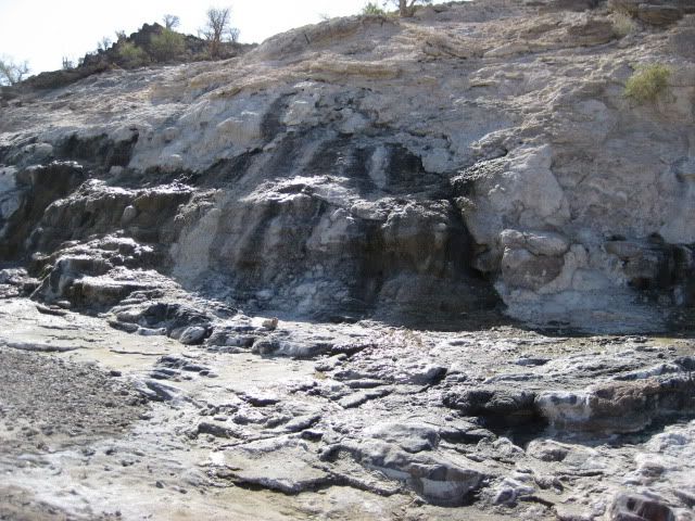
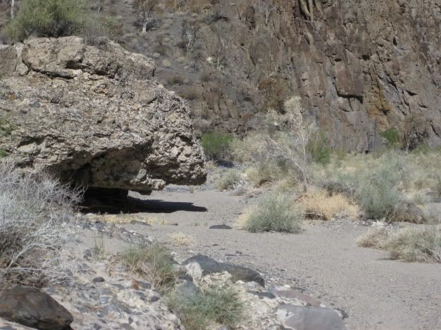
Water in small amounts was near our camp and oozing out of a cliff at the first big bend.
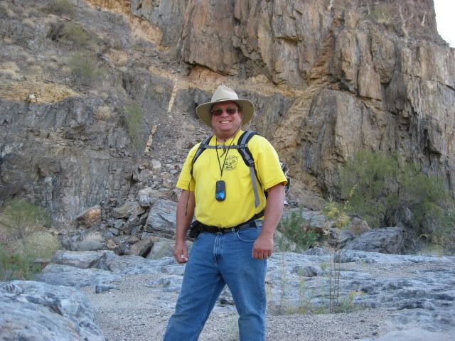
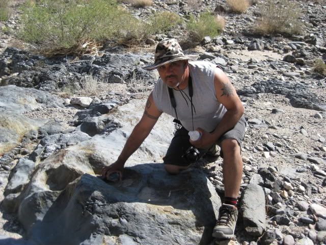
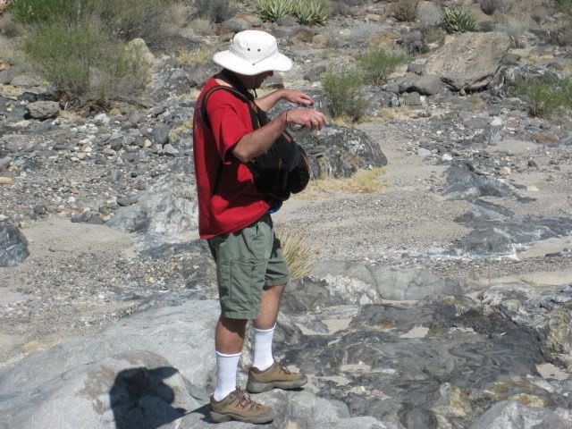
David K, always happy to be in Baja!
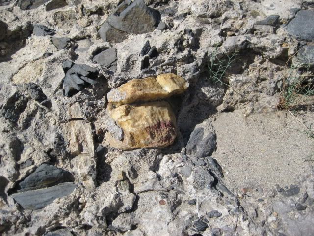
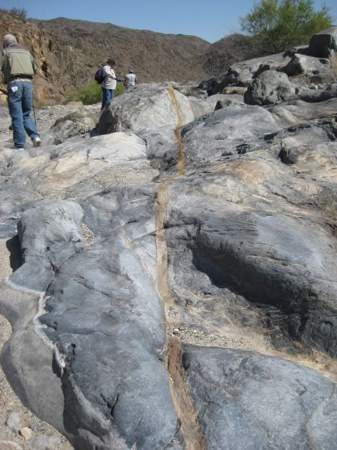
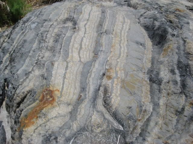
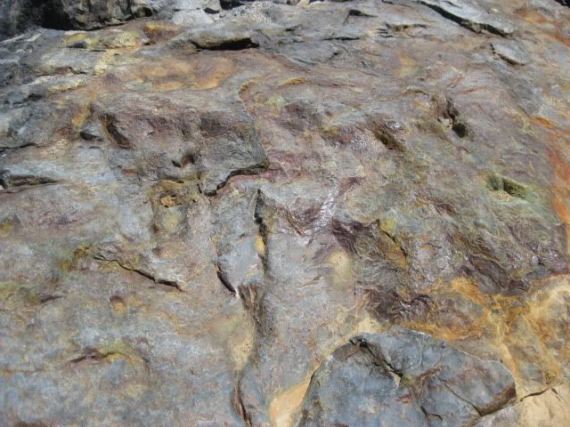
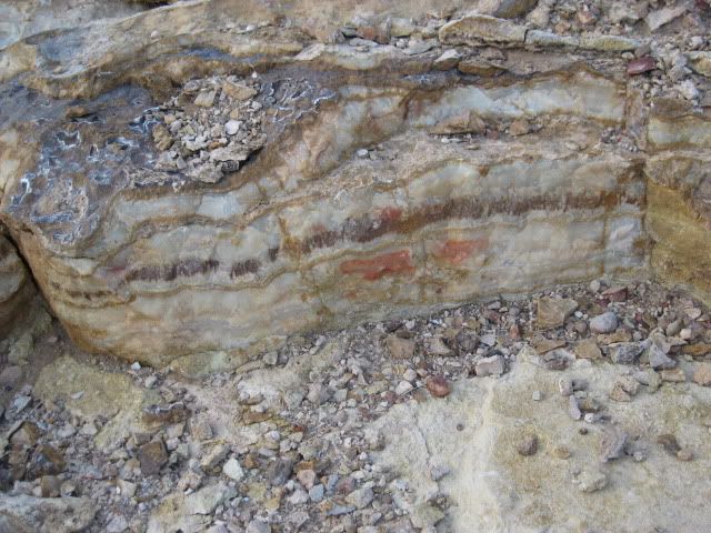
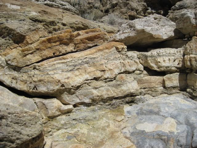
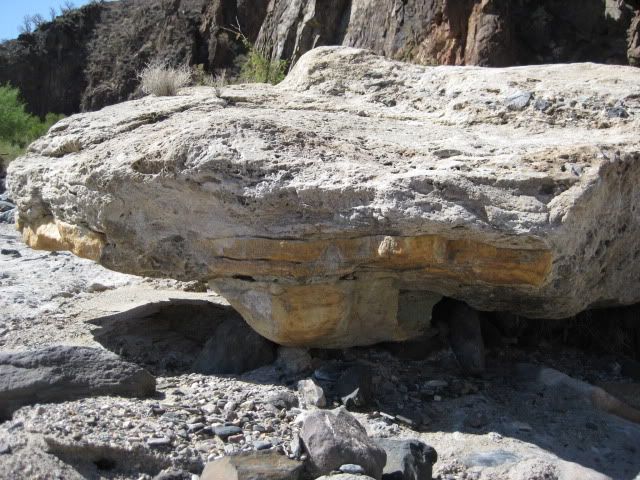
A piece of onyx trapped in newer rock, along the arroyo.
Where I left off in Part 1 was near the end of the 4 mile hike down Arroyo El Volcan... As we looked high up the cliffs to the location of the corral in elbeau's satellite images we could not see directly the level or semi-level area. It was out-of-sight, and some of us wished to find a way up there for a closer look... Now, if we only had a helicopter, like Erle Stanley Gardner did 40 some years ago!
bajalou had all the sites GPSed on his hand-held and I had the primary Santa Isabel site on mine... That was my goal: to get right to the spot that elbeau saw 'man-made' structures like arches, stairways, fountains, etc. If that was there, then we would look for the others places later.
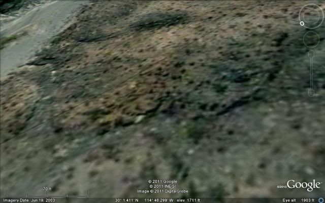
On the Google Earth image, the site is just off the main arroyo, along a side gully...
Both images are looking southwest, up the side gully...
GPS of the site marked by the white ballon: GPS is 30º01.42', -114º46.29' (WGS84). Elevation is 1,701'
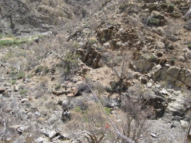
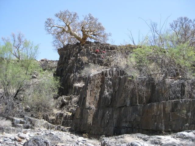
Here are the views as we near the final big S bend in the arroyo, see the corral area, and see the entrance to the LOST MISSION side gully (maybe call it Arroyo Santa Isabel?):
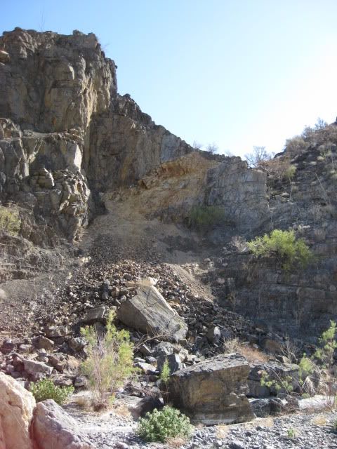
Interesting trench erosion up and over the ridge... Santa Isabel is on the other side!
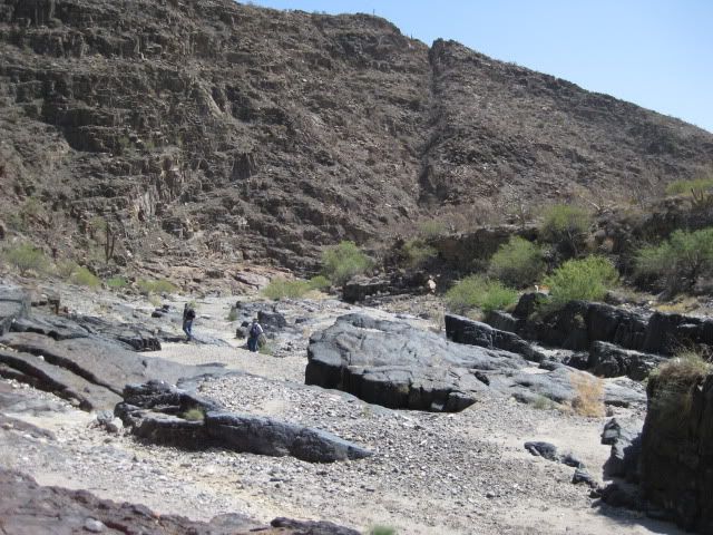
That is the 'corral' area up above the cliff.
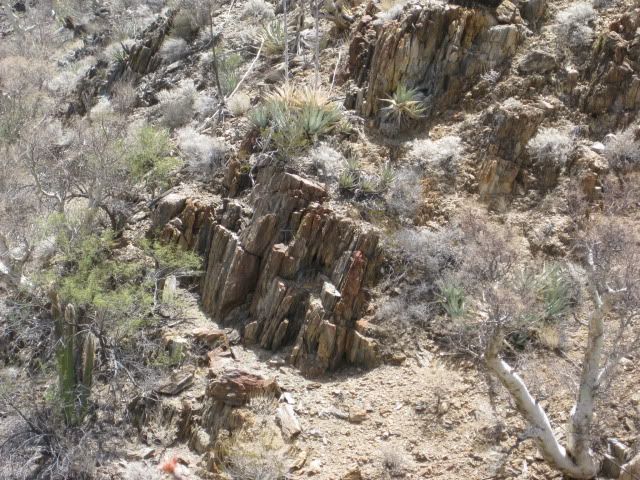
Ahead, on the left... are the formations marking the entrance to Santa Isabel arroyo!
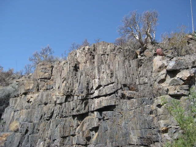
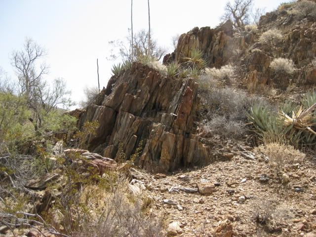
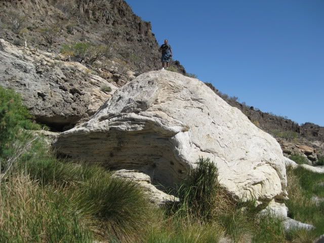
Close up view of the rock face on the north side of the Santa Isabel arroyo, where it meets Arroyo El Volcan.
Climbing into Arroyo Santa Isabel and arriving!We turn towards Santa Isabel and begin the final few feet of the 4 mile hike!
(Vern Pic)
A dry waterfall is the only way into Arroyo Santa Isabel (Vern Pic)
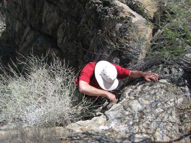
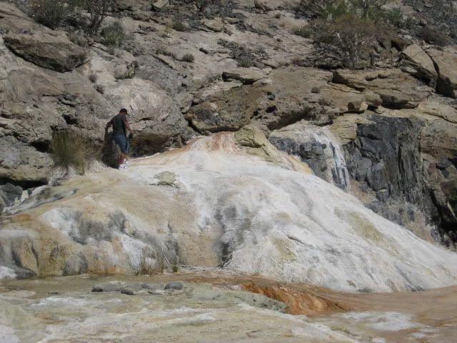
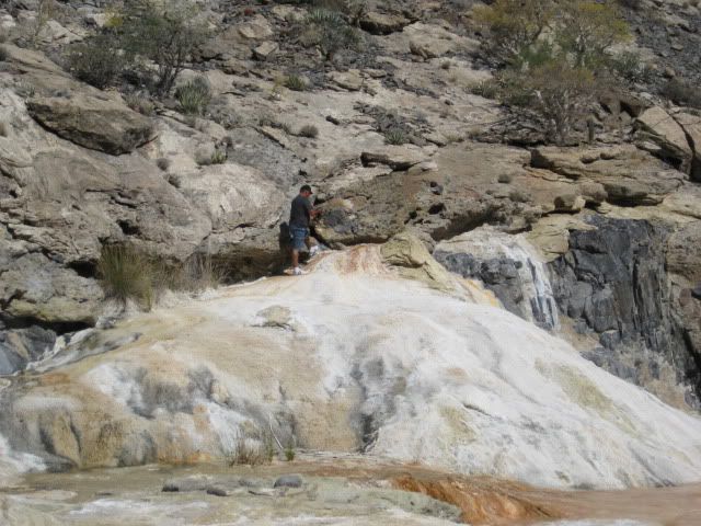
Vern, José, DT, Phil and I make the climb.. and soon we see the site!
Vern photos me closing in on the site.
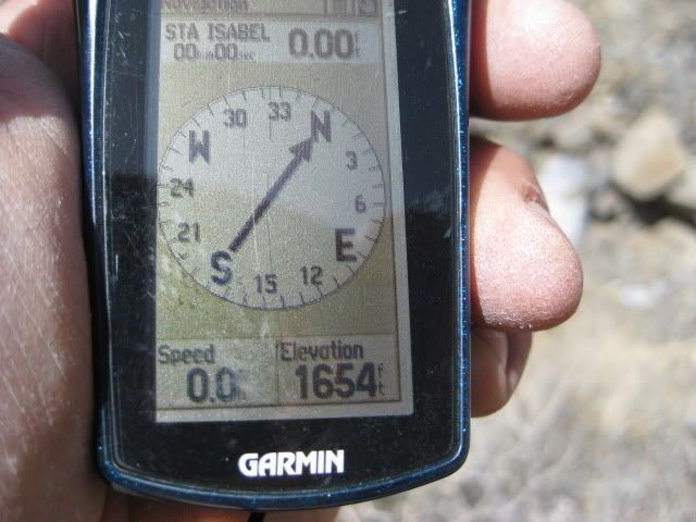
My GPS on 'ground zero' at the site!
I will show you the LOST MISSION OF SANTA ISABEL (according to elbeau)!
Close up from Google Earth, north at top:
Rotate and angle for 3-D effect, looking southeast:
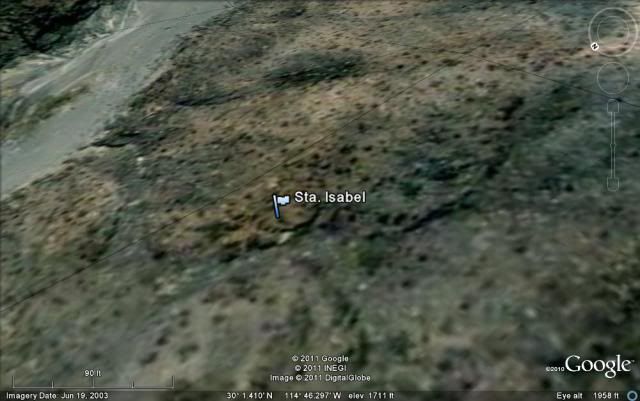
This is what elbeau sees in the Google Earth image:
HERE is what we saw:
Close up
Now, from across the small arroyo and up the other slope:
Arroyo El Volcan is in the background
Zoom in:
THAT'S IT! (well, that's all we have agreed to show you... you should have joined us!)
Seriously, there is MUCH MUCH more to this trip...
El Vergel and BAJACAT continued up Arroyo Santa Isabel some distance, as did dtbushpilot and XRPhlang (while I was climbing the north slope for the above photos)... BAJACAT gave something to the mountain (I will let him share that with you). We all got bloodied on the brush or rocks.
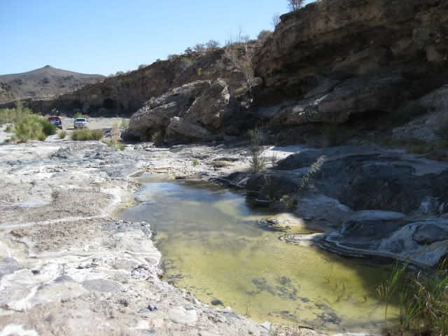
BAJACAT and El Vergel continued further down Arroyo El Volcan and found bigger pools of water (photos coming).
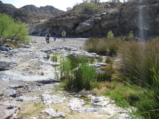
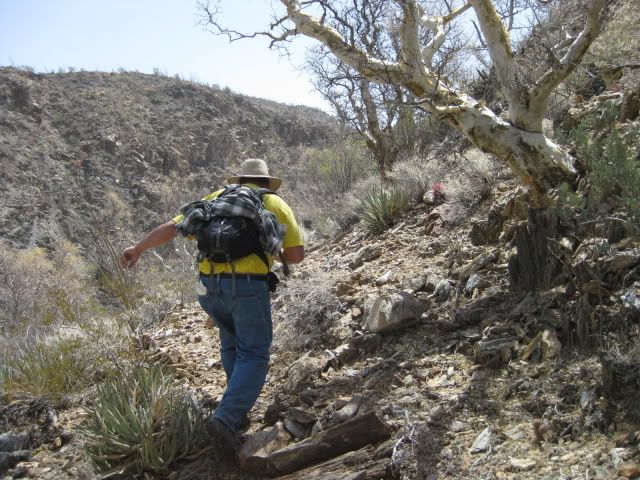
The hike back to our camp seemed much longer, as the temperatures were higher and water was running out...
That afternoon, after a good rest, we drove up to La Olvidada mine and also the small onyx mine at El Volcan.
The next day (Sunday) we explored the El Volcan geyser and surroundings... so STAY TUNED, plenty more high adventure and photos coming!!!
Leaving the Lost MissionWell, it was time to head back... so-I-thought!
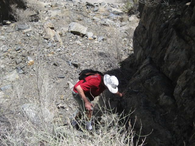
Vern and I were the last out of Arroyo Santa Isabel, and climbed down the waterfall into Arroyo El Volcan.
Vern and José needed more adventure... so they headed further down the big arroyo (see El Vergel's thread with photos of what they saw!: http://forums.bajanomad.com/viewthread.php?tid=52725 )
A look towards the corral area, up there.
I head back towds camp with dtbushpilot and XRPhlang... we soon find the three others who scouted the corral area (bajalou, TW and Bill).
It was 4 miles from Santa Isabel back to our camp, I walked with David and Phil for about a half mile after we left the three Corral explorers (TW, Bill, Lou)... and decided to wait and see if any of the 5 were going to get a move on...
Tired of waiting, I decided to march on solo... About a kilometer from camp, I took a break in the shade of a cliff and after maybe 15 minutes, here comes El Vergel... We finish the trip back together.
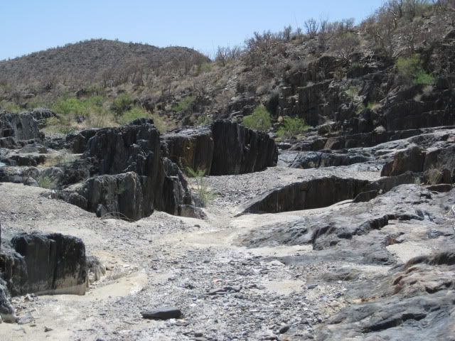
Here are some photos of Arroyo El Volcan on the return:
This was mile 2 from camp marker (I did one at the other mile points, but this was the highest).
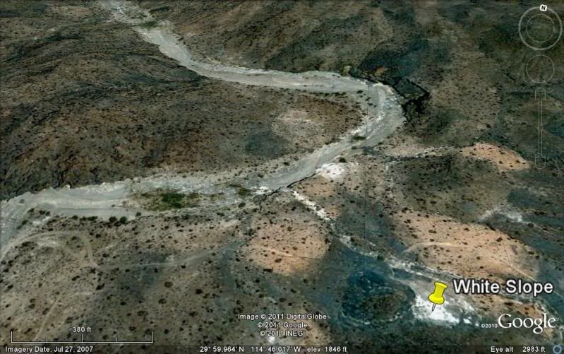
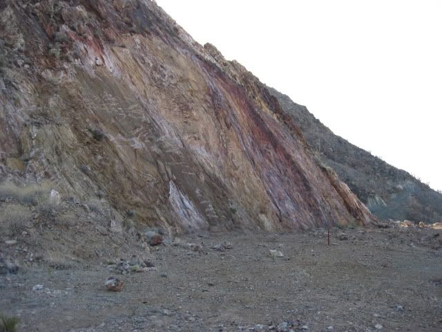
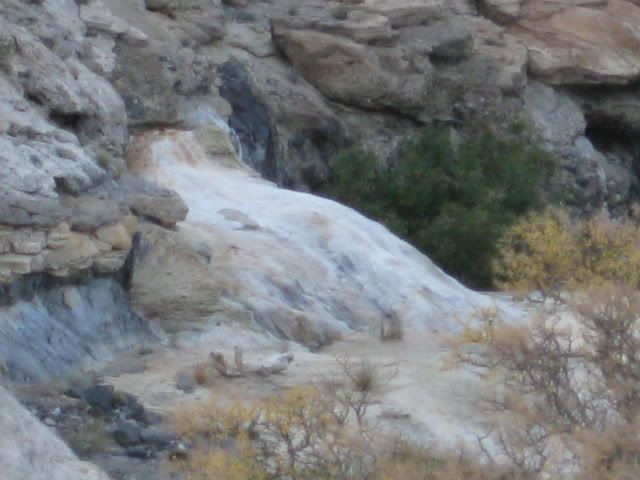
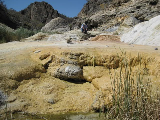
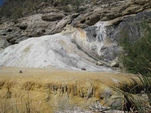
After resting up from the big hike, later Saturday afternoon we took a drive to see the La Olvidada (The Forgotten) Barite Mine. Along the way and on the return we take a look at the White Slope of springs just east of Arroyo El Volcan.
Looking down at our camp area, as we drive east.
We see some boojum trees as we get close to the mine area.

The road to the mine from El Marmol has been recently graded and is 2WD friendly.
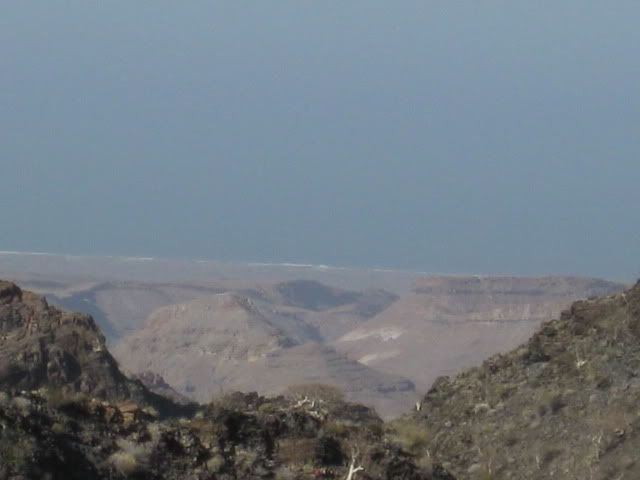
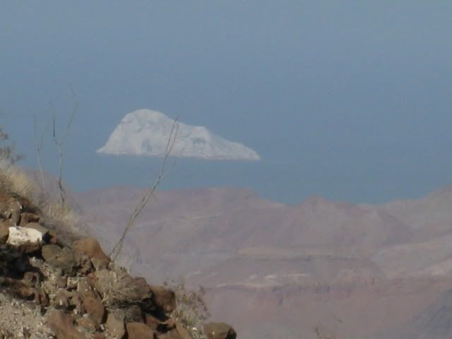
Our first view of the Sea of Cortez (Gulf of California) from the road.
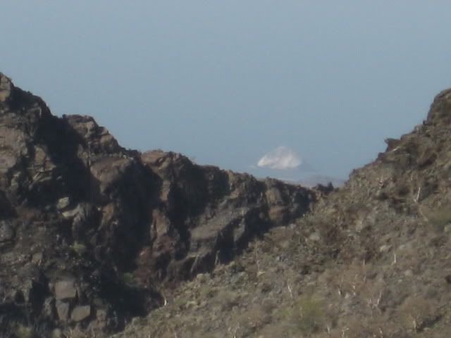
That is Isla El Huerfanito (The Little Orphan).
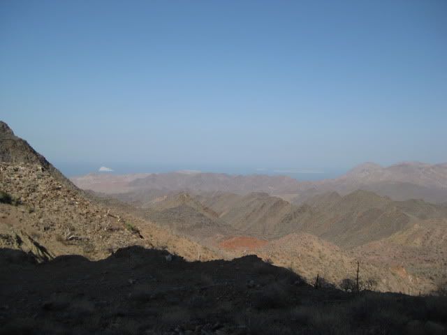
Other islands come into view from the end of the road, 6 miles from Arroyo El Volcan.
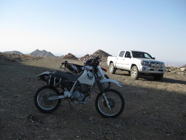
Phil (XRPhlang) and David (dtbushpilot) also ride up to the mine with us.
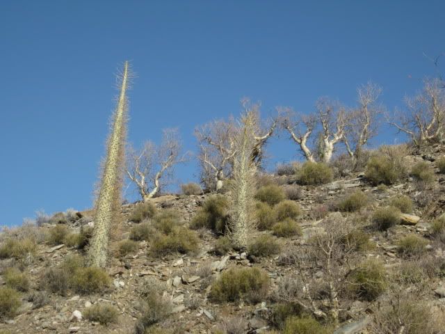
More boojum trees as we head back.
The white slope of tiny springs.
Coming next... EL VOLCAN, BAJA'S COLD WATER GEYSER!
OKAY, who wants to know what barite is? (from Wikipedia)
Baryte, or barite, (BaSO4) is a mineral consisting of barium sulfate.[2] The baryte group consists of baryte, celestine, anglesite and anhydrite.Baryte itself is generally white or colorless, and is the main source of barium. Baryte and celestine form a solid solution (Ba,Sr)SO4.[1]
The name baryte is derived from the Greek word βαρύς (heavy). The American spelling barite[2] is used bythe USGS[7] and more often used in modern Scientific journals including those published by the Netherlands-based Elsevier journals. The International Mineralogical Association adopted "barite" as the official spelling when it formed in 1959[citation needed], but recommended adopting the older"baryte" spelling in 1978,[8] notably ignored by the Mineralogical Society of America. The American Petroleum Institute specification API 13/ISO 13500 which governs baryte for drilling purposes does not refer to any specific mineral, but rather a material that meets that specification, in practice this is usually the mineral baryte.
The term "primary baryte" refers to the first marketable product, which includes crude baryte (run of mine) and the products of simple beneficiation methods, such as washing, jigging, heavy media separation, tabling, flotation. Most crude baryte requires some upgrading to minimum purity or density. Baryte that is used as an aggregate in a "heavy" cement is crushed and screened to a uniform size. Most baryte is ground to a small, uniform size before it is used as a filler or extender, an addition to industrial products, or a weighting agent in petroleum well drilling mud
UsesSome 77% worldwide is used as a weighting agent for drilling fluids in oil and gas exploration to suppress high formation pressures and prevent blowouts. As a well is drilled, the bit passes through various formations, each with different characteristics. The deeper the hole, the more barite is needed as a percentage of the total mud mix. An additional benefit of barite is that it is non-magnetic and thus does not interfere with magnetic measurements taken in the borehole, either during logging-while-drilling or in separate drill hole logging. Barite used for drilling petroleum wells can be black, blue, brown or gray depending on the ore body. The barite is finely ground so that at least 97% of the material, by weight, can pass through a 200-mesh (75-μm) screen, and no more than 30%, by weight, can be less than 6 μm diameter. The ground barite also must be dense enough so that its specific gravity is 4.2 or greater, soft enough to not damage the bearings of a tricone drill bit, chemically inert, and containing no more than 250 milligrams per kilogram of soluble alkaline salts.[7]
Other uses are in added-value applications which include filler in paint and plastics, sound reduction in engine compartments, coat of automobile finishes for smoothness and corrosion resistance, friction products for automobiles and trucks, radiation-shielding cement, glass ceramics and medical applications (for example, a barium meal before a contrast CAT scan). Baryte is supplied in a variety of forms and the price depends on the amount of processing; filler applications commanding higher prices following intense physical processing by grinding and micronising, and there are further premiums for whiteness and brightness and color.[7]
Historically baryte was used for the production of barium hydroxide for sugar refining, and as a white pigment for textiles, paper, and paint.[2]
Although baryte contains a "heavy" metal (barium), it is not considered to be a toxic chemical by most governments because of its extreme insolubility.
===========================================
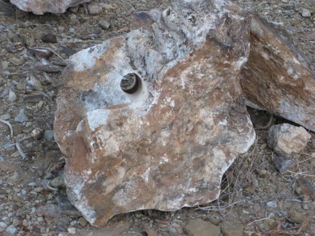
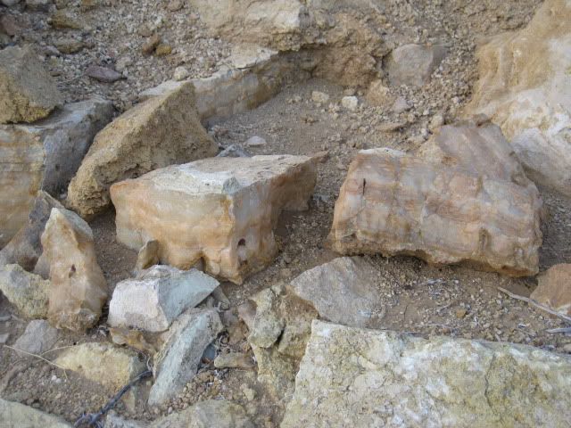
I got a chunk of rock piled up outside the mine, and it is strangely heavy for its size... like metal would be.

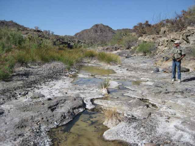
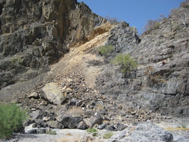
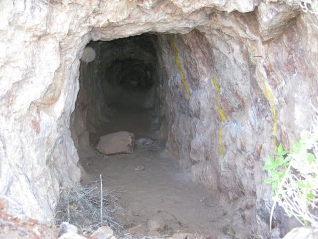
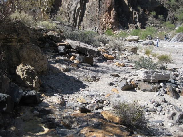
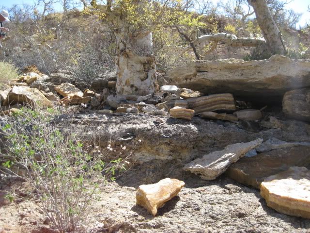
On Saturday afternoon, after visiting the Olvidada barite mine and white slope of springs, we drove south on the road along the east edge of the El Volcan arroyo gorge... It goes about 3/4 a mile past some onyx mine activity and then drops steeply down to the arroyo.
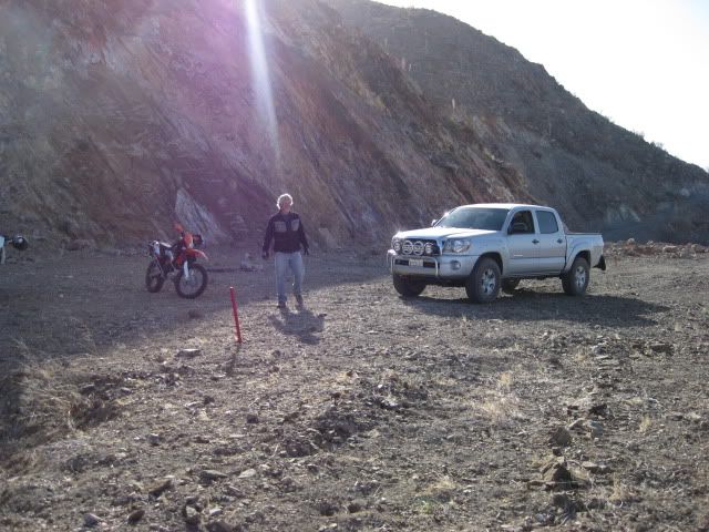
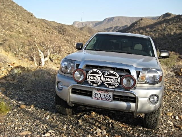
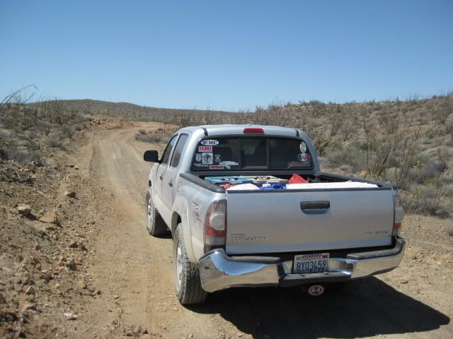
Coming back up the steep grade gave me an opportunity to demonstrate the Tacoma's A-TRAC traction system to Vern (a Jeep owner)!
[A-TRAC or Active Traction Control is Toyota's answer to front and rear lockers to achieve maximum traction. A-TRAC is available on the Off Road TRD 4WD Tacoma since the 2009 model. Using the ABS brakes and spin sensors, any tire that starts to spin from a loss of traction gets braked to match the rotation on the opposite tire on that axle... an automatic locker effect for all 4 tires... however, steering ability is uneffected]
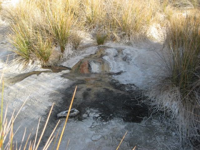
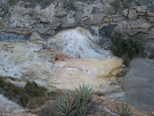
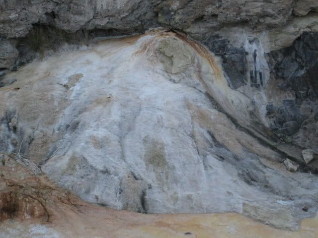
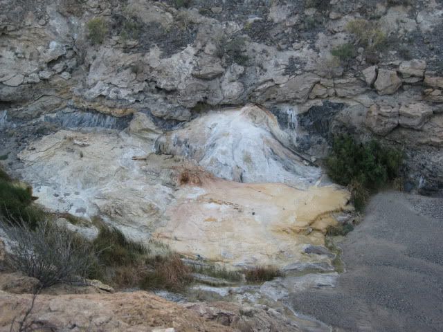
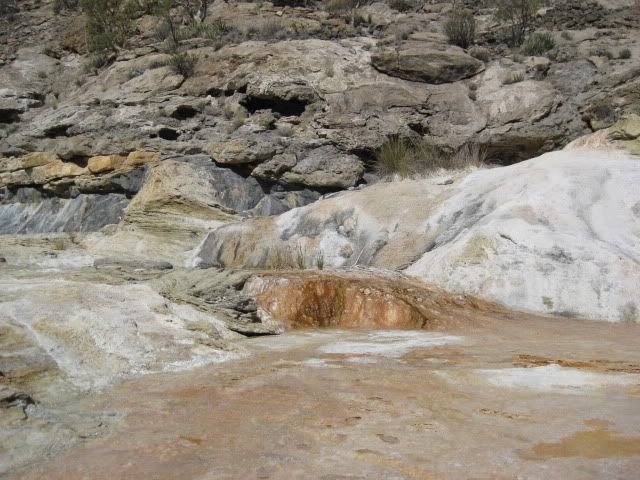
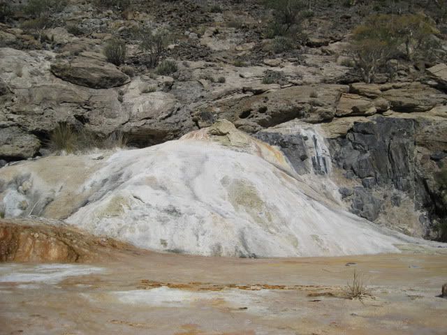
Once back up to the mine area, we hike around... and eventually go to the edge of the gorge where we look down on the giant dome that is EL VOLCAN... Baja's 'Cold-Water' geyser!
On Sunday, we return in the arroyo with BAJACAT and have a very close look at the geyser. Vern even took some videos of the activity... so stay tuned for Sunday's photos!
View up Arroyo El Volcan from the onyx mine area
Looking into the gorge and to the right...
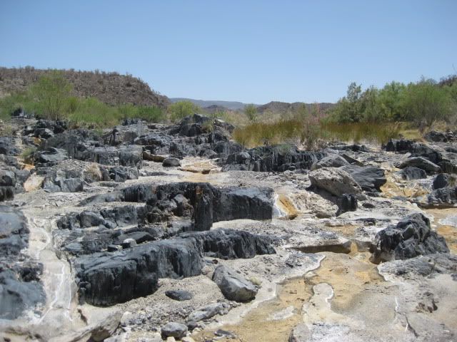
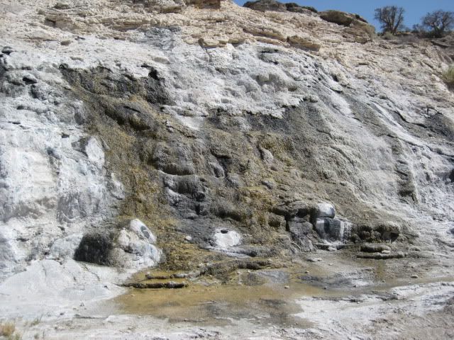
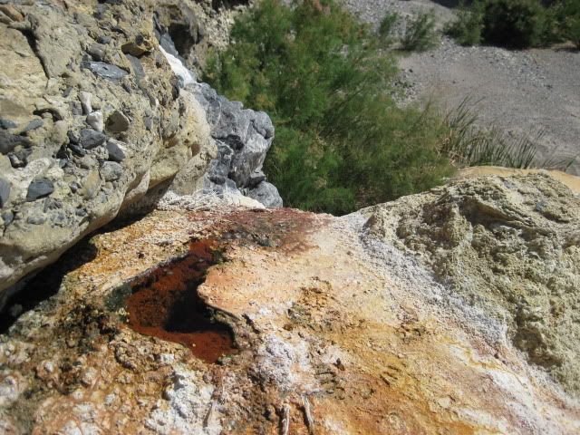
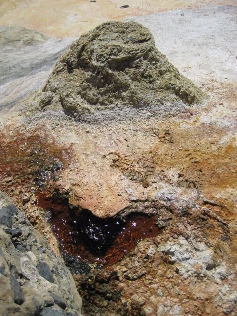
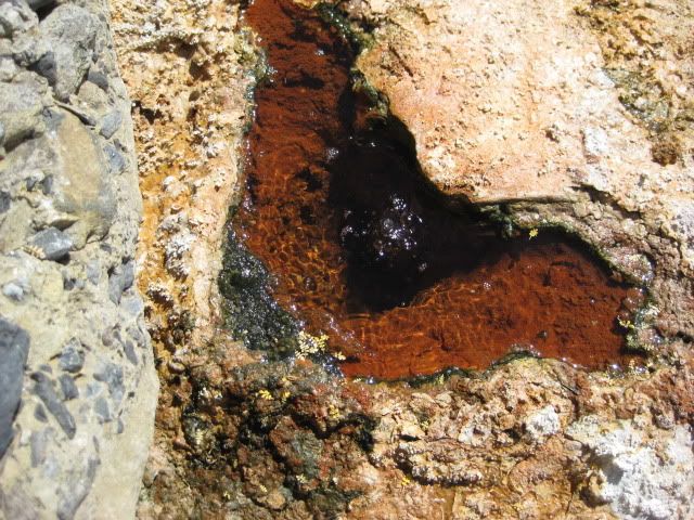
El Volcan
Another look down upon El Volcan:
STAY TUNED for Sunday's UP-CLOSE photos at the geyser!
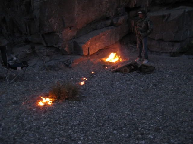
TW demonstrates how to use gasoline to start a fire!
Sunday Morning, May 1TW gets underway...
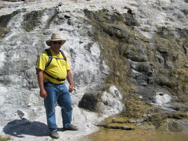
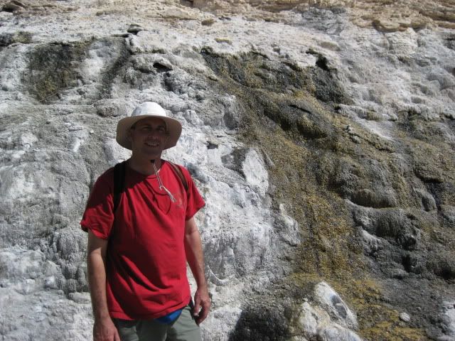
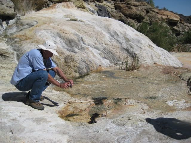
We wait for David (dtbushpilot) to get underway, then BAJACAT, El Vergel and I go visit El Volcan:
We can drive about half of the 2,000 feet from the road to El Volcan. Last time I was here (2006) the arroyo was sandy... now it is mostly rock.
Walking towards El Volcan
A look back towards our trucks
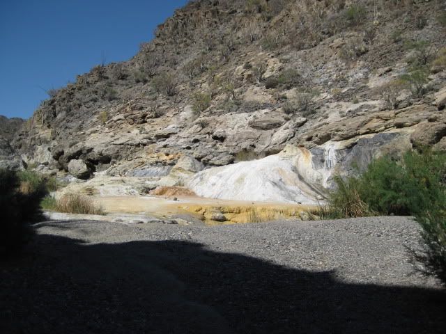
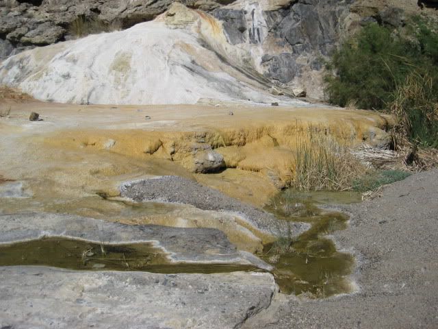
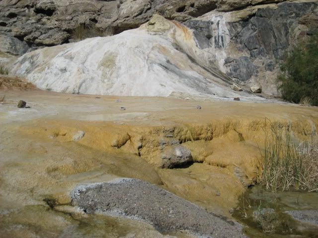
El Volcan
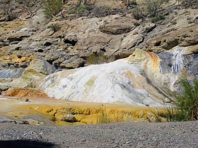
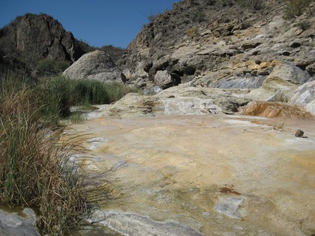
Looking beyond El Volcan
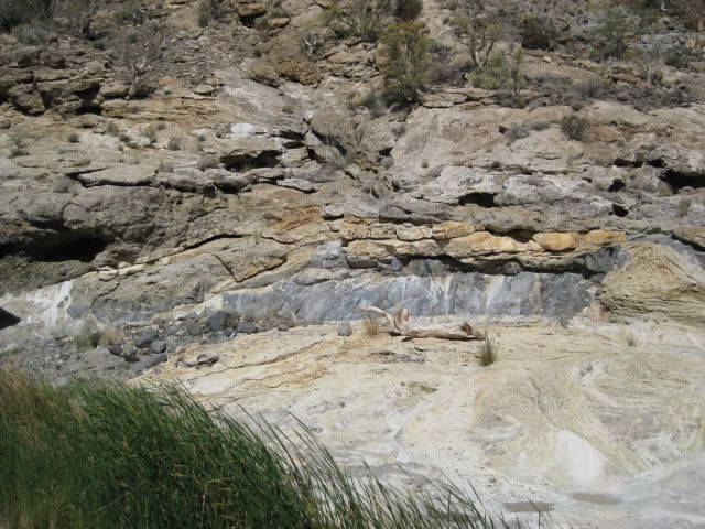
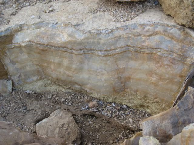
A large vein of onyx in the cliff past El Volcan
BAJACAT gets a closer look
We hike past El Volcan
José on top of the boulder
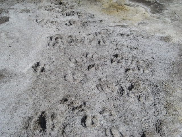
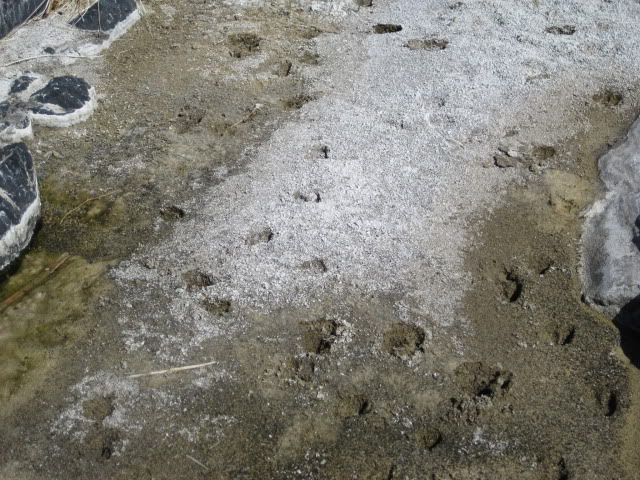
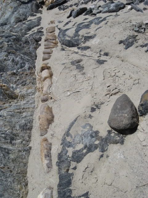
Plenty of tracks in here!
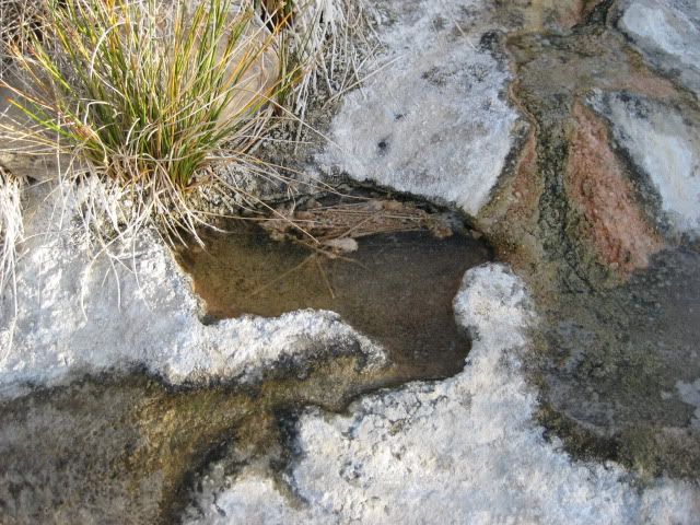
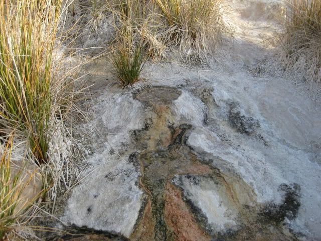
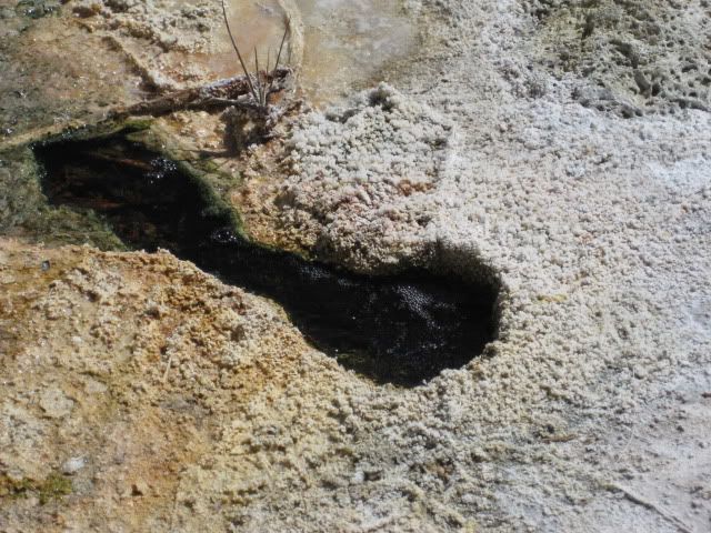
The top of El Volcan
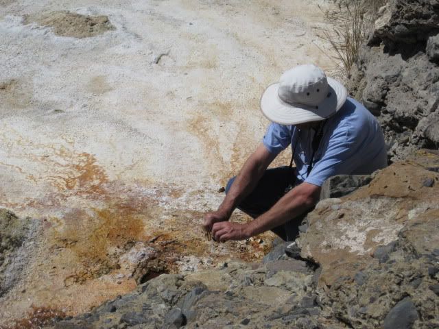
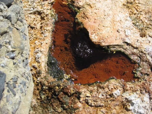
El Vergel records a video clip of the bubbling cold water springs
A baby elephant tree
Onyx is all over the place!
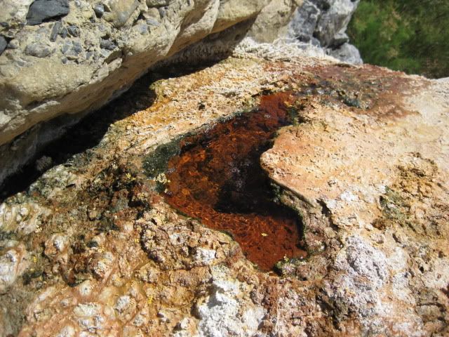
Lots of bubbles on El Volcan!
Our trucks from El Volcan
A visit to the El Volcan Cold Water Geyser is one of Baja's must-do events. To catch the monthly eruption (in the daytime) would be perhaps the most amazing thing to experience in Baja. When we were in the area 11 years ago, my travel amigo Lorenzo de Baja considered setting up a camp for up to a month to witness the event!
I have no knowledge of any photos or documentation of the eruption other than in Walt Peterson's 'The Baja Adventure Book' describing the event as a 60 foot plume of water and gas (CO2?) lasting several minutes.
One last look at El Volcan:
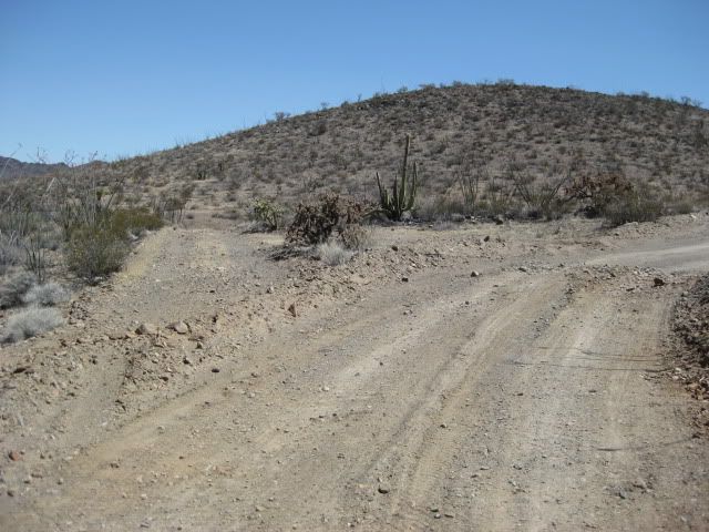
Here is the fork 2 miles from El Marmol (and 2 miles from Arroyo El Volcan)... facing northeast. Before the road was graded, both branches looked equally used (or unused):
On the road to El Marmol
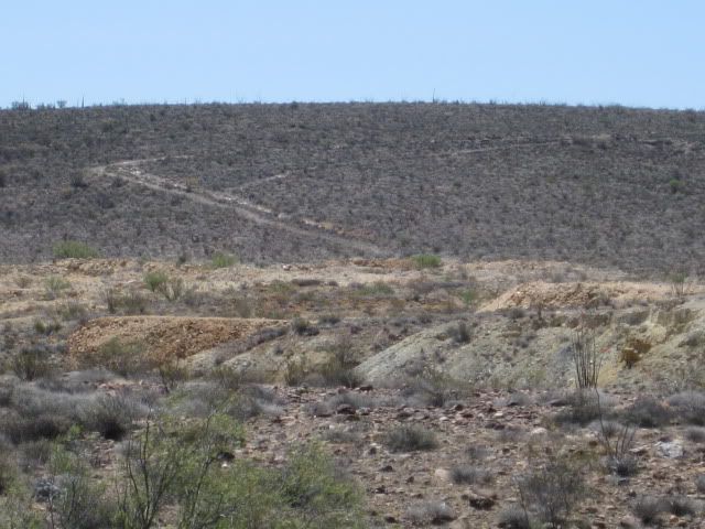
Nearing the Onyx quarry you can see the old road climbing the hill... this was the road south, 10.3 miles back to the old main road (between Agua Dulce and La Virgen). I travelled it twice (in 1974 and '75). Neal Johns took it about 10 years ago... I wouldn't go solo as there may be some deep washouts.
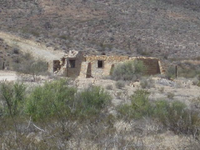
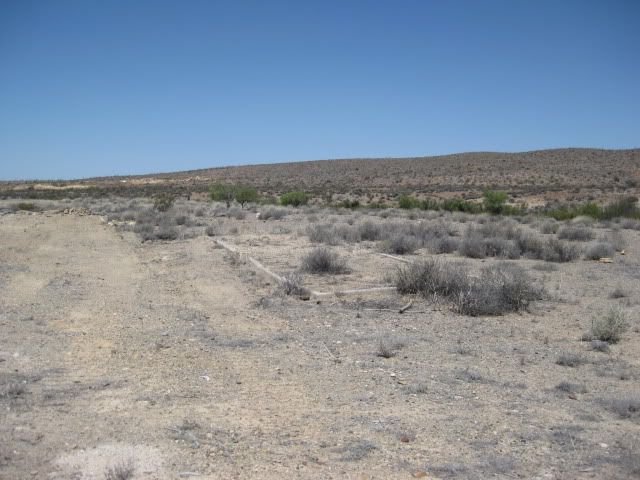
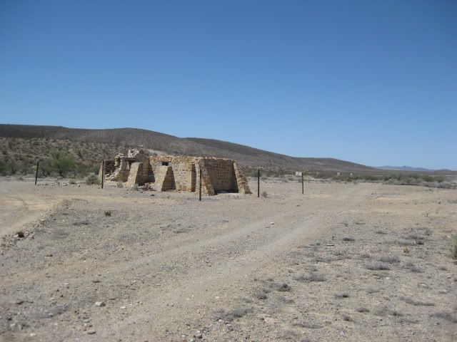
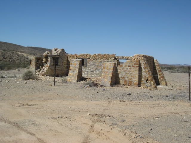
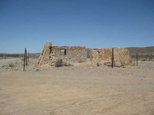
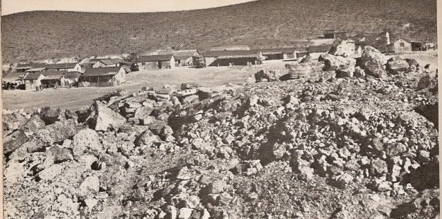
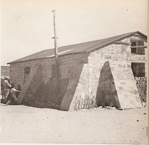
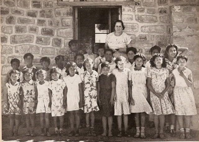
The schoolhouse
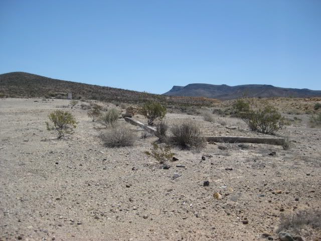
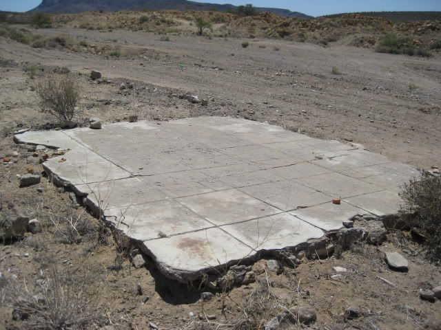
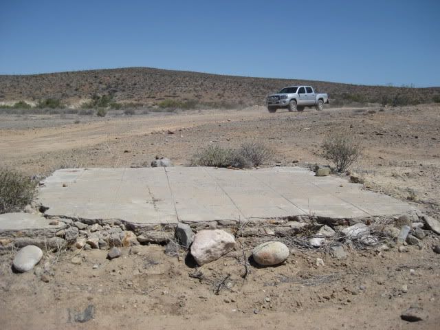
Some of the home foundations from 1958 and earlier.
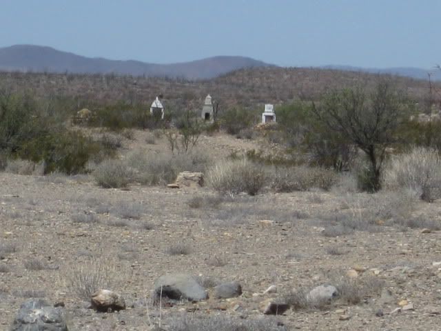
Graveyard
In 1953:
---------------------------------------------------------------------------------------------
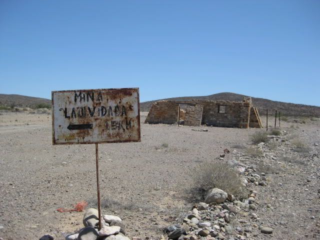
Sign pointing the way to El Volcan (4 miles) and La Olvidada (10 miles). It is 9 miles from this point back to Hwy. 1 (Km. 148/9). Rancho Sonora is just south of the El Marmol jcn.
See the onyx gifts for sale there!


No comments:
Post a Comment